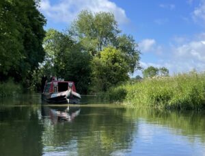
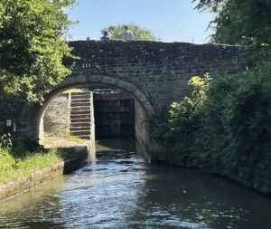
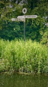
“Where are we?” That might sound daft, but it’s a legitimate question when most of the canal and river system looks like a watery green corridor! Thankfully every bridge and lock have names and numbers and junctions usually have signposts.
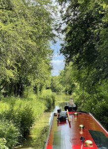
But when there’s nothing but greenery, it’s often a sense of smell that helps! Such as if you smell coffee, you’re close to Banbury, if it’s beer then it’s Burton-upon-Trent and if it’s the gentle aroma of sewage, then there’s a sewage works nearby! You can sometimes smell as well as hear a big weir as the moist air often hangs along the river. You also get more cyclists and walkers on the towpath and bridges as you get closer to a town.
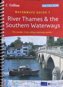
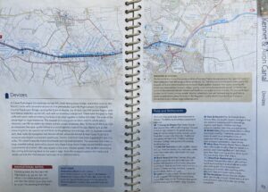
Do you remember Wainwright’s walking books? We have a similar descriptive series of waterway guidebooks commonly known as the Nicholson guides. They aren’t as beautifully illustrated, but they do explain the lay of the land, a bit of the history and give advice on hazards such as tidal waters or time restrictions for lift bridges. The reviews of pubs and towns can really help with meal planning and stocking the larder. Other essentials include the location of the next water tap, rubbish disposal and yes, an Elsan point, to empty the cassette toilet (yuck). If you’ve owned a caravan or motorhome, you’ll know all about keeping topped up and cleaned out!
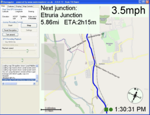
This all sounds very basic, so where’s the technology? If Ian’s involved there has to be some somewhere and you’d be right. There are various apps on the iPhone with route planning on them, such as Open Canal Map and Canals UK. We often use Google maps in satellite mode to assess ahead for mooring opportunities, as you can spot the landing stages, designated visitor moorings and even where other people have managed to moor in the past. This can be really useful on rivers where it’s not that easy to moor just anywhere. We also have a GPS tracker that’s plugged into an old Windows tablet with a free mapping application called Navvygator. It plots our route in real-time. It also estimates distances and travel time to the next lock, swing bridge, winding hole (turning space) or junction (available free from http://waterexplorer.co.uk/Brochure/Navvygator.aspx). GPS takes the guess work out of finding where we are, but as you will know, even that can be unreliable in certain situations.
The What3Words app is also used quite widely on the system. If we spot a problem like a broken paddle on a lock (the thing that allows you to control water flow) or a fallen tree, we can send a notification to the Canal & Rivers Trust and give the location using What3Words app. It’s also essential in case we have to call for the emergency services, as they wouldn’t have a “scooby do” about being south of a bridge called Ladydown on the Kennet and Avon Canal!
We don’t often get lost, but on some stretches, particularly in a cutting where the canal is running along a deep “valley” and we lose GPS, we do have to wait for the next bridge to check the number on it!
I was expecting to hear about how technology has eased the burden and I wasn’t disappointed! Good job on the updates and I love hearing about your adventures!
Thanks Tim. On the tech front – planning a piece about off grid power/batteries/solar/inverters soon so stay tuned!
Love your updates, pics and illustrations ❤️
Clever you xx
Found memories of crossing Kinder Plateau before the advent of GPS a major undertaking with a compass in poor visibility. Good that you know how far to the next watering hole 🤪